©
OpenStreetMap
contributors, Research carried out by Neil Jarman (Institute for Conflict Research) mapped by Bob Harper (Detail Data), ©
CARTO
, ©
OpenStreetMap
contributors
x
()
form
owner
year_built
cluster
:
location
changes
()
Cluster :
barrier clusters
1: Suffolk - Lenadoon
2: Springfield Road
3: Falls - Shankill
4: The Village - Westlink
5: Inner Ring
6: Duncairn Gardens
7: Limestone - Alexandra Park
8: Lower Oldpark - Manor Street
9: Crumlin Rd - Ardoyne - Glenbryn
10: Ligoniel
11: Whitewell Road
12: Short Strand - Inner East
Ormeau Road
Portadown
Lurgan
Derry - Londonderry
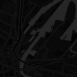
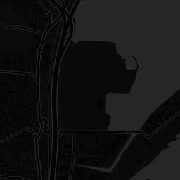
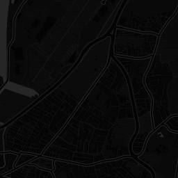
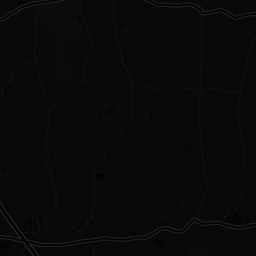
Belfast Interface Project - Inc. former barriers
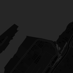
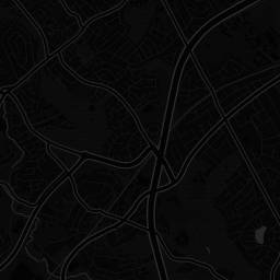
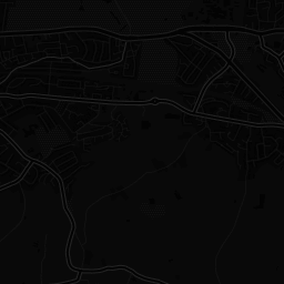
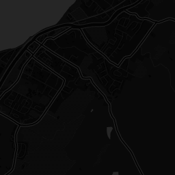
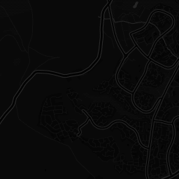
Security barriers and associated forms of defensive architecture at residential interfaces, in Belfast, Portadown, Lurgan and Derry/Londonderry.
x
Share this map
Social
Share on Facebook
Share on Twitter
Link to this map
Embed this map
<iframe width='100%' height='520' frameborder='0' src='https://bobharper.carto.com/viz/6e6f1960-02d2-4a18-be48-8a3253908b7f/embed_map' allowfullscreen webkitallowfullscreen mozallowfullscreen oallowfullscreen msallowfullscreen></iframe>
+
-
Visible layers
2
Current (2017)
Former (2011)
CARTO
This visualization only works in modern browsers. Upgrade yours and enjoy.
Safari
Chrome
Firefox
Map created by
Bob Harper